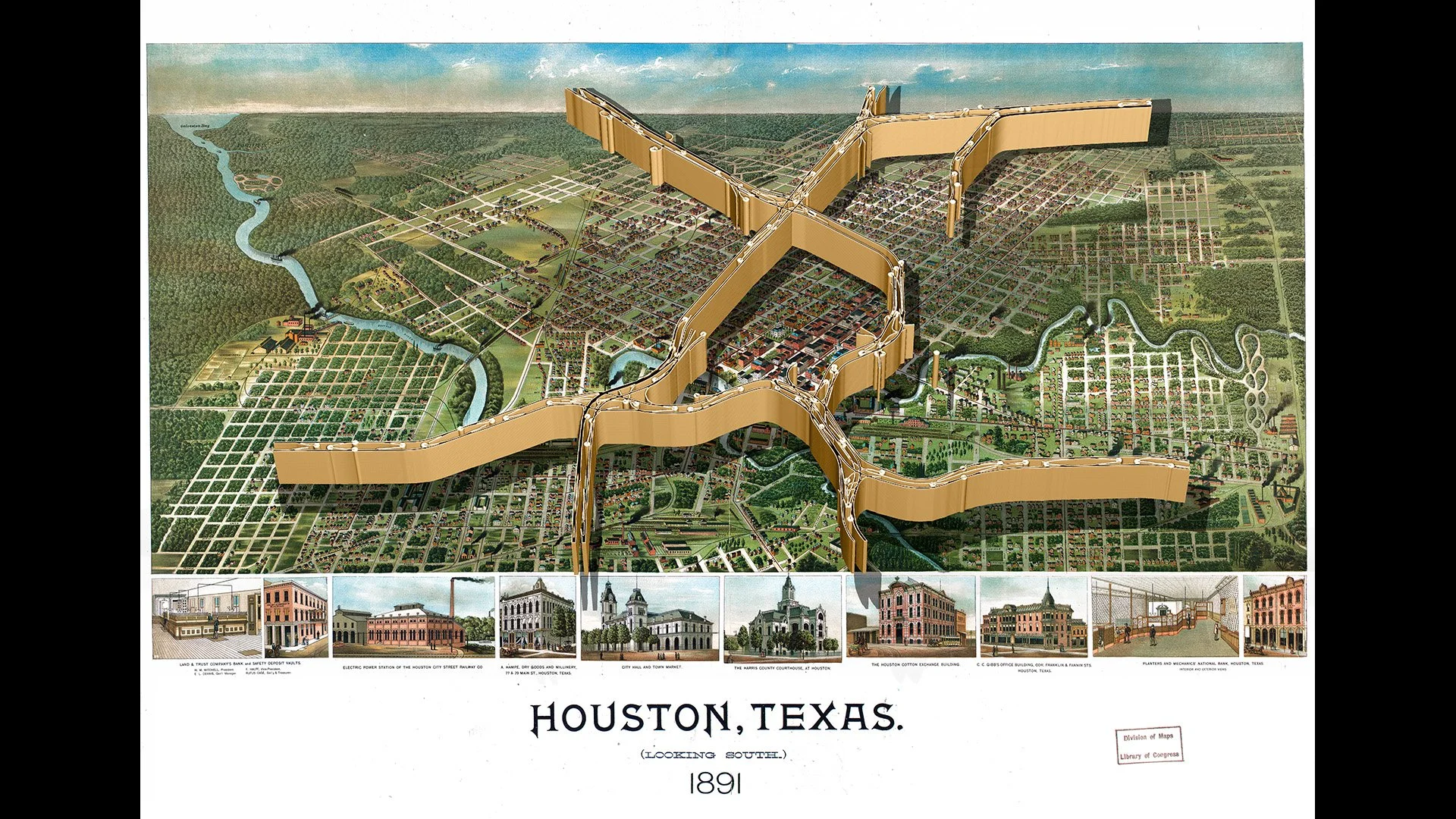
I created my current gallery exhibition PALIMPSEST using geospatial data, depicting the locations of current Interstate highway interchanges with historical city maps dating from the 19th century. I used OpenStreetMap highway data that I georeferenced in QGIS over historical panoramic maps from the Library of Congress. I extruded these highway maps and 3D printed them as sculptures to be placed over printed highway maps. I am interested in using Cesium Stories to create a web experience of this series.